Who is flying right now? The map on this page is built by the site itself and combines three sources: two open ADS-B networks and the Open Glider Network with FLARM and OGN trackers – so it also includes the gliders, ultralights and tugs that are missing from pure ADS-B maps. Below that, two embedded maps from the operators, for a look beyond the Oberland.
No substitute for looking outside. These maps only show what an aircraft transmits itself and what a ground receiver nearby picks up. Without FLARM or ADS-B an aircraft does not appear here at all, reception is often missing in valleys and at low altitudes, and the display lags a few seconds behind. It is no good for collision avoidance – but it is fine for watching, understanding the traffic and retracing a flight.
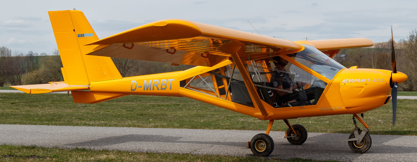
If it is airborne, it is selected and shown with its data sheet; all others stay visible. Track it alone: airplanes.live · adsb.fi · ADSBexchange. On our own map above it appears orange as soon as any of the three sources sees it – it is not registered in the OGN device database, however, so it only appears there if a receiver picks up its transponder.
Traffic around the airfield
This map is built by the site itself: the server queries two open ADS-B networks and the Open Glider Network, merges the targets and shows them within 150 kilometres (about 80 NM) of the Oberland. This includes gliders and ultralights with FLARM, which are missing from pure ADS-B maps. Updated every 15 seconds.
ADS-B FLARM / OGN D-MRBT
Loading traffic …
The big maps
Two ready-made maps of the ADS-B networks, without the 150 km limit – for looking further, following tracks and filtering. The FLARM targets are in our own map above; the complete OGN map is at live.glidernet.org.
If the window stays empty, the provider does not allow embedding: open the map in a new tab.
What the maps show
OGN – Open Glider Network: a network of private ground receivers that picks up FLARM, OGN trackers and PowerFLARM, plus ADS-B as far as the receivers see it. It is the source for the local scene: gliders, tugs, ultralights, paragliders with trackers. It feeds our own map above. Only genuine FLARM targets – gliders, tugs, ultralights, paragliders – are shown in raspberry there. What an OGN receiver merely picks up via ADS-B counts towards the blue picture; otherwise the same aircraft would appear twice on the map. Anyone who has their identifier hidden appears as "anonymous".
ADS-B – adsb.lol, adsb.fi and airplanes.live: open receiver networks run by volunteers. They show everything that transmits position, altitude and identifier on 1090 MHz – from airliners and rescue helicopters to ultralights with ADS-B Out. No FLARM, but wide coverage and mostly complete from a few thousand feet up. Blue on our own map; duplicate targets from several networks are merged.
Even more: ADSBexchange filters nothing out, not even government and military aircraft. The OpenSky Network is the research network behind it, with raw data to work with yourself. And live.glidernet.org can also be centred directly on an airfield.
FLARM or ADS-B – why two maps
FLARM is a short-range system from the gliding world: low transmit power, its own protocol, intended for aircraft-to-aircraft warnings in thermals. ADS-B is the transponder's position report, receivable at long range and standardised worldwide. That is why the same area looks completely different in the two networks – and why both are shown side by side here.